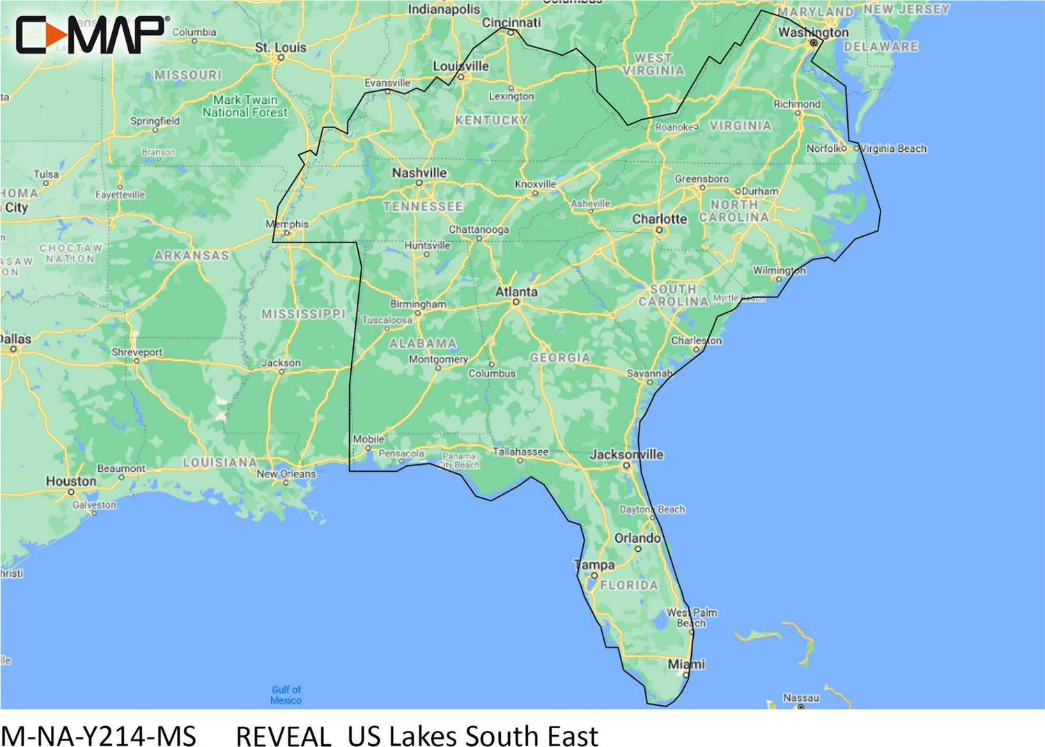
Lowrance Reveal US Lakes-South East- SD Card Map Chart
- Brand: Lowrance
- Country of Origin: Imported
FEATURES:
– Shaded Relief: Bring the world around you to life, with 3D rendered land and underwater elevation including areas of Ultra-High-Res Bathymetric imagery a game-changer for anglers and divers.
– Full-Featured Vector Charts: Making navigation easy by giving you accurate, up-to-date vector chart detail derived from official Hydrographic Office information.
– High-Res Bathy: Helps you identify shallow areas, drop-offs, ledges, holes or humps. Now includes compiled and quality-controlled Genesis detail as part of singular HRB layer.
– Custom Depth Shading: Set a clear safety depth, maintain a paper-like view or create your own custom shading
– Aerial Photography: A collection of thousands of photos of marinas, harbors, inlets and other notable navigational features included to offer an additional level of detail


